
History
The Coordination Group for Geostationary Satellites came into being on 19 September 1972, when representatives of the European Space Research Organisation (since 1975 called the European Space Agency, ESA), Japan, the United States of America, Observers from the World Meteorological Organisation (WMO) and the Joint Planning Staff for the Global Atmosphere Research Programme met in Washington to discuss questions of compatibility among geostationary meteorological satellites. Since then, CGMS has expanded both in terms of its membership, objectives and its name.
Achievements
In accordance with its objectives, CGMS has been able to continuously achieve concrete results. This has enabled a better coordinated and more coherent approach for the operation of meteorological satellites. The achievements result from careful discussions at technical, scientific and executive levels during CGMS meetings coupled with perseverance by the CGMS members. Without being exhaustive, the below list describes some of the major achievements of CGMS:- Establishment of a global back-up framework (contingency planning) – the concept of “helping thy neighbour” e.g. manoeuvring an available satellite to a different location to support satellite observations. In the 1980s NOAA’s GOES-4 satellite successfully supported the Meteosat DCS that had run into difficulties. Later in the early 1990s, Meteosat-3 was moved to a position over the Western Atlantic to support NOAA to perform an operational imaging mission vital for hurricane observations. This established partnership continued in 2003 when NOAA supported JMA with GOES-9 to perform operational imaging after retiring GMS-5 and before the availability of MTSAT-1;
- The close cooperation of CGMS leads to an optimisation and coordinated enhancement of the WMO Global Observing System (GOS). CGMS operators inter alia adopted the WMO vision for the GOS to 2025;
- Standardisation of data dissemination formats and coordinated planning for the analogue to digital transition;
- Development of a common standard for the International Data Collection System (IDCS);
- Development of an integrated strategy for data dissemination and data exchange (GTS, Internet, ADM, GEONETCast…);
- Coordinated activities toward protection of radio frequencies;
- Development of a coordinated approach to calibration and intercalibration (Global Space-based Inter-calibration System – GSICS);
- Promotion and development of a coordinated framework for generating climate data records from space observations (SCOPE-CM);
- Overarching framework for science development and the improvement and utilisation of satellite products through International Science Working Groups that interact with CGMS (the International TOVS Working Group – ITWG – addressing satellite radiance measurements and retrievals in a broad sense; the International Winds Working Group – IWWG – addressing Atmospheric Motion Vectors (AMVs) and winds from satellites in general; the International Precipitation Working Group – IPWG – and the International Radio-occultation Working Group –IROWG);
- Promotion of a common approach to archiving of data and products; and
- Promotion of training and the development of the Virtual Training Laboratory (VLab).
CGMS 50 YEARS - 1972-2022
*** CGMS 50 YEARS - 1972-2022 ***
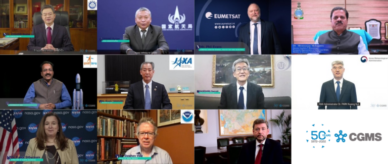
As experts come together in Geneva, Switzerland, to celebrate 50 years of CGMS, Mr. Mikael Rattenborg, EUMETSAT’s former Director of Operations, reflects on some of the most striking stories from across the groups history.
As the Coordination Group for Meteorological Satellites (CGMS) turns 50, Dr WANG Jingsong, Director-General of the China Meteorological Administration’s National Satellite Meteorological Centre reflects on the collaborative decision to place the Fengyun-3E polar orbiting satellite in an early morning orbit.