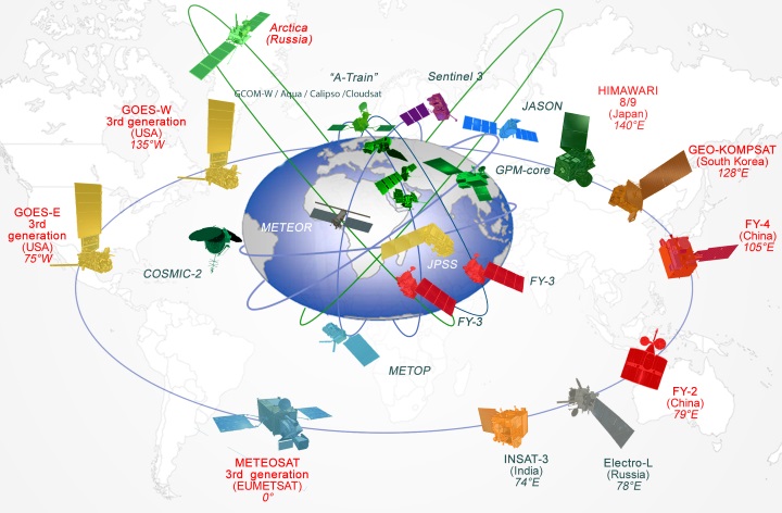

Satellite Products
Advanced scientific algorithms are applied to satellite observations to generate satellite products for use by the global operational and scientific user communities. In particular, satellite products are a key input to Earth system modelling at centres around the world. CGMS strives to ensure the global consistency of product science and algorithms through continuous dialogue with remote sensing scientists and the user community.
The topics being addressed include:
- Product derivation coordination, by comparing and harmonising retrieval algorithms. This is done through scientific studies and algorithm intercomparison.
- Product format coordination. CGMS provides significant input to the definition of standardised product formats, in particular through WMO.
- Product validation coordination. Harmonising validation processes and the use of external reference data for the validation of scientific products.
- Improving product quality and harmonising quality control processes.
- Improving satellite instrument calibration. Satellite instrument calibration is crucial for achieving global products of high quality, and CGMS has therefore established the Global Space-based Inter-Calibration System (GSICS).
- Providing coordinated climate-quality products.
Several International Science Working Groups are affiliated with CGMS to work on the scientific coordination. These groups:
- compare operational algorithms;
- organise international product assessments;
- publish recommendations;
- define validation methodologies;
- identify future research priorities.
The following groups are currently active: