

Data Access

Data Access The new satellite systems generate increasing amounts of advanced measurements, but it remains a major challenge to ensure that improved data and products are actually available, and can be utilized by more users in all regions around the world, both global centres with advanced capabilities as well as users in developing countries. CGMS […]
CGMS Baseline

CGMS Baseline The CGMS Baseline enumerates the observations, measurements, and services that form the CGMS contribution to the space-based Global Observing System and is responding to end-user requirements expressed in WMO’s Rolling Review of Requirements (RRR). The CGMS Baseline will strive to support the WMO Integrated Global Observing System (WIGOS) 2040 vision and serves as […]
CGMS Contingency Planning

CGMS Contingency Planning The CGMS Contingency Plan provides guidance and processes for identifying, mitigating, and coping with capability loss against the CGMS Baseline. This plan provides guidance to CGMS Members to ensure continuity of their missions, discusses steps Members can take to coordinate continuity among themselves, and steps CGMS can take to monitor and respond […]
Data Collection Systems (DCS)

Data Collection Systems (DCS) Data Collection Services (DCS) are services, offered by meteorological satellite operators, that enable the relay of environmental data from Data Collection Platforms (DCPs) to end users, through the use of a certified DCP transmitter installed on the DCP. Several meteorological satellite operators, namely the European Organisation for the Exploitation of Meteorological […]
Direct Broadcast

Direct Broadcast The polar orbiting meteorological satellites, operated by the CGMS agencies, offer users worldwide the opportunity to receive in real time the observations collected by the satellite instruments. To acquire the direct broadcast data, the user needs a local reception system, capable of tracking the satellite when in visibility of the station and processing […]
Frequency Coordination

Frequency Coordination In order to fulfil its objectives to harmonise meteorological satellite mission parameters on a global basis, CGMS coordinates the active and passive sensors frequencies to be used to ensure continuity in the measurements and organises the use of the frequency bands available for Data Collection Systems (DCS) and for the downlink of the […]
Satellite Products
Satellite Products Advanced scientific algorithms are applied to satellite observations to make satellite products for use by the global operational and scientific user communities. In particular satellite products are a key input to Earth System Modelling at centres around the world. CGMS strives to ensure global consistency of product science and algorithms, through a continuous […]
Satellites & Data Access
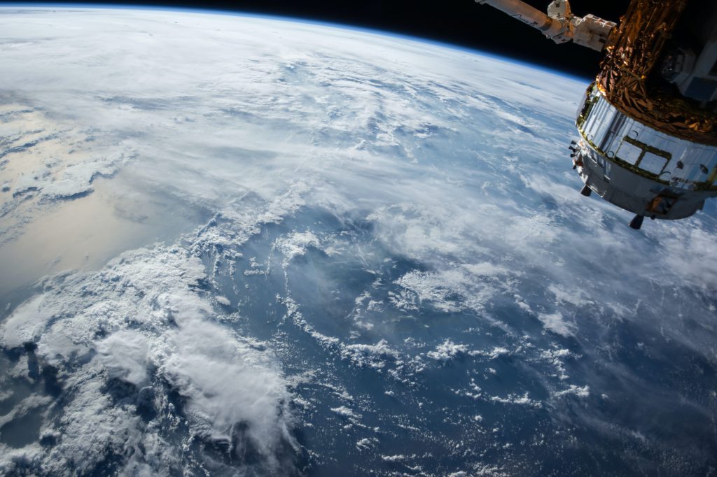
The global network of satellites, whose technical and operational coordination is the objective of CGMS, constitutes a major portion of the space-based component of the Global Observing System (GOS). The GOS provides observations on the physical state of the atmosphere and ocean surface from both space-based and land-based instruments. This data is used for the […]